 vesseltracker.com
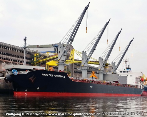
Vessel CANNY CAROLINE IMO: 9580027, MMSI: 538009785 Bulk Carrier
Live AIS position:
UTC. Near Majistan/Zhoushan),
updated 2025-11-11 02:49:26 UTC.
Find the position of the vessel CANNY CAROLINE on the map. The latter are known coordinates and path.
marine traffic ship tracker show on live map
The current position of vessel CANNY CAROLINE is 29.98912 lat / 122.13929 lng. Updated: 2025-11-11 02:49:26 UTCCurrently sailing under the flag of Marshall Islands
CANNY CAROLINE built in 2012 year
Deadweight:
32070 tDetails:
Last coordinates of the vessel:
2025-11-11 02:49:26 UTC, 29.98912, 122.13929, course: 281, speed: 0.1